
Finding Van Buren Township Residents
A Van Buren Township residents search works best as a short, dated trail rather than a broad profile. Begin with a full street address when one is available, because the township assessor and Wayne County parcel tools can test the jurisdiction. Use a name only after fixing the locality and time period. The official systems answer narrow questions: a parcel record gives property context, a deed index shows recorded parties, an election office handles registration questions, and a library collection can document a historical address. A Belleville result needs a second check because the postal label is used by both township and city addresses.
No public record proves every person at an address. An owner may be an estate, trust, business, or off-site person. A directory line or newspaper notice may be historical. Keep a source date, the exact locality wording, and the field label that the custodian displayed. When two independent records agree on a name, address, and time period, the result is more reliable than a single matching name.
- Check the address in the Van Buren Township BSA property search or Wayne GIS, and save the township label and parcel identifier.
- Use the record that matches the question: the Register of Deeds for recorded land transfers, or the Michigan Voter Information Center for a personal registration-status question.
- For a dated household lead, search the Belleville digital directory, newspaper, or yearbook collections with both Belleville and historical township names.
- Confirm a court, vital, or local-government record through its issuing clerk or agency, not a search-result summary alone.
- When an existing public record is not online, send a focused Michigan Freedom of Information Act request or contact the library, archive, clerk, or recorder that holds it.
Note: A negative result can reflect a spelling variant, an excluded record class, an incomplete scan, or a protected address rather than an absence from Van Buren Township.
Van Buren Township Resident Record Offices
Van Buren Township records are divided by purpose. The township clerk holds municipal custody, election direction, cemetery records, and local Freedom of Information Act coordination. The assessing office maintains the current assessment-roll lead. Wayne County holds the land index, county clerk records, and geographic context. State systems handle matters such as voter-file requests and vital records. Each office has its own access rules, so a record request should name the type of record, relevant date range, and the township or parcel involved.
For an address question, the Van Buren Township street records route explains the assessor, GIS, and deed sequence in detail. The cards below identify the offices that begin the broader records trail.
Wayne County Register of Deeds
400 Monroe Street, 7th Floor
Detroit, MI 48226
313-224-5850
Van Buren Township Assessing Office
46425 Tyler Road
Belleville, MI 48111
734-699-8946
Wayne County Elections
2 Woodward Avenue, Suite 502
Detroit, MI 48226
313-224-5525
The Van Buren Township Clerk office is the municipal gateway for records custody, elections, cemeteries, and FOIA coordination.
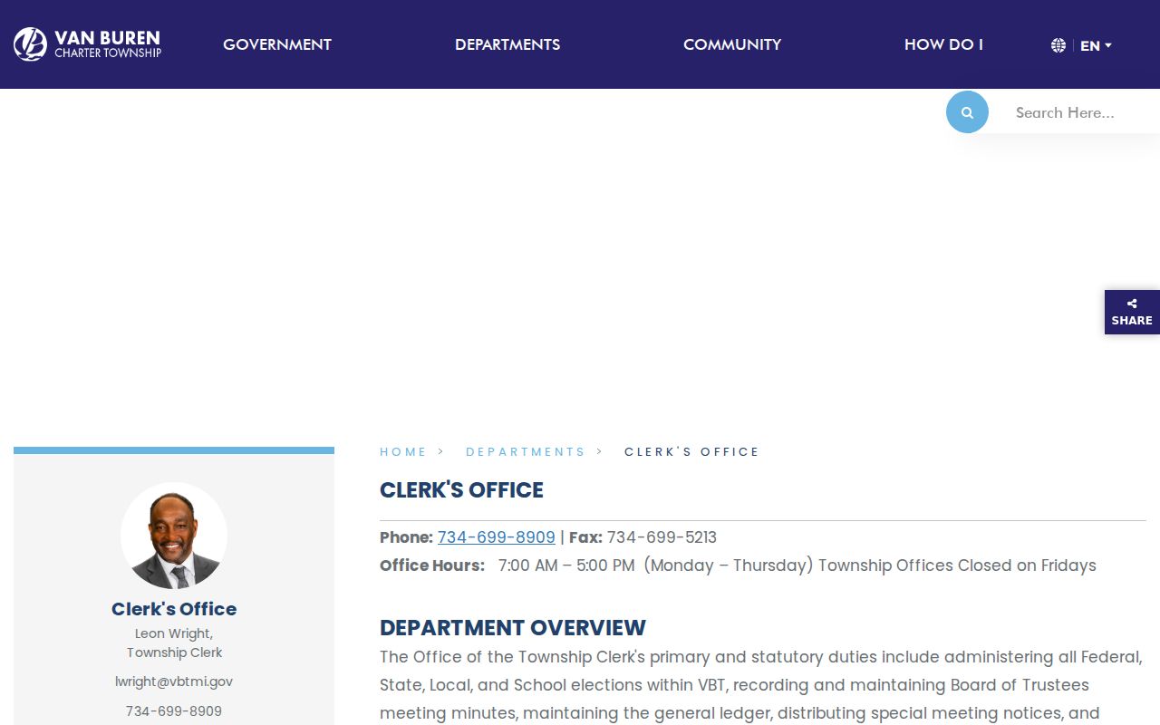
The clerk image supports a practical distinction: municipal records stay with the township, while land, county-court, and many statewide records have different custodians.
Van Buren Township Parcel Search
The township assessor links its public property search through BSA Online, municipality UID 296. Its basic form offers Address, Name, and Parcel Number as search categories, with a query field whose meaning changes with the selected mode. Use an address or parcel identifier first when checking a township property. BSA also advertises separate assessment, current-tax, permit, building-record, special-assessment, utility, and payment services. A result in one service should not be treated as a complete record in another.
The BSA property, tax, and permit portal shows the municipality-specific search entry point used for Van Buren Township.
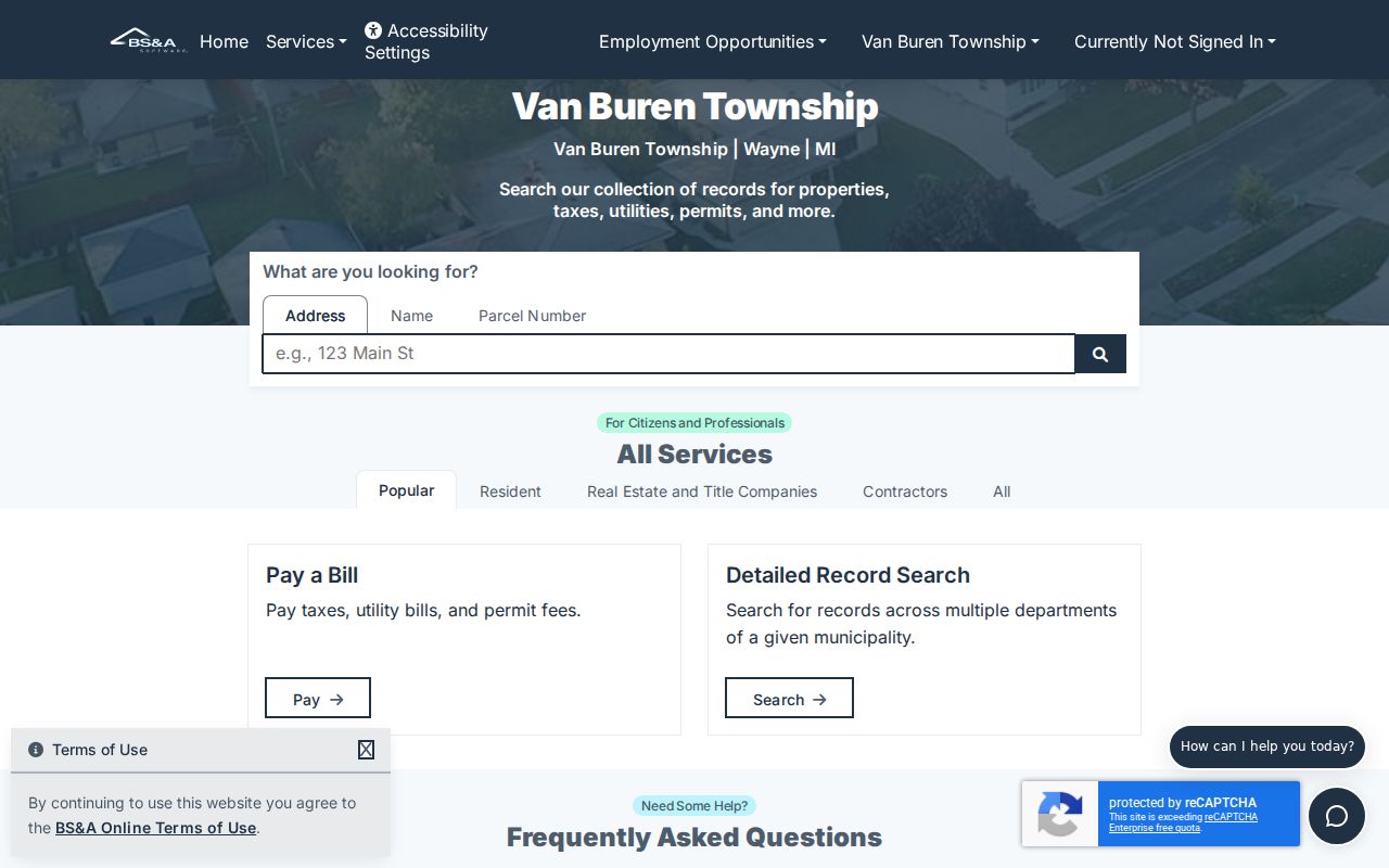
The landing page is useful for choosing a search mode, while the assessor remains the source for a correction or a field the public detail view does not expose.
The Van Buren Township BSA portal is a public reference search, while the assessor is the escalation point for corrections or a disagreement with a map. Its detail controls were JavaScript-gated during research, so the visible landing page supports opening the current assessor record rather than promising a particular field. A title conclusion still requires the recorded land instrument.
| Van Buren Township search element | How it works | Record boundary |
|---|---|---|
| Search mode | Choose Address, Name, or Parcel Number | Category changes the query meaning |
| Query text | Enter the selected address, name, or parcel reference | Use the live portal's format |
| Assessment and tax services | Open the applicable BSA service | Services are separate, not one universal result |
| Permit and building leads | Use the listed building-record service | Exact detail-card fields were not captured |
Note: The assessor describes BSA information as reference data and directs corrections to the municipality that maintains the underlying assessment record.
Van Buren Township and the Belleville Label
Many township addresses use Belleville, MI 48111 as their mailing form. That postal convention does not make a parcel part of the City of Belleville. The township was formed from Huron Township in 1835, while Belleville later separated in 1905. Historical and current results may therefore use Van Buren Township, Charter Township of Van Buren, Belleville, Rawsonville, Denton, West Huron, or Huron Township. Dates and a jurisdiction label matter as much as the place name.
For a present-day address, compare the postal result with the Wayne parcel record and the BSA municipality page. The Wayne GIS layer can return a property street, city, ZIP, packed parcel ID, full address, street components, and a township jurisdiction label. A Belleville postal city paired with a Van Buren Township GIS label is a normal local result, not a conflict.
Jurisdiction check. USPS confirms mailing delivery, while a township label, parcel ID, legal description, or assessor record is the stronger test for a Van Buren Township record.
Wayne County Land Names and Parcels
The Wayne County Register of Deeds is the county's authoritative route for deeds, land contracts, mortgages, liens, leases, and related instruments. Its grantor-grantee and legal-description indexes can supply a dated party-to-property trail. Free Public Search is a name-only grantor or grantee index and does not provide images or printing. The On-Demand account adds address, legal-description, parcel or tax-ID, and Liber/Page searching, document viewing, and paid printing.
Wayne's official pages describe different online depths: the search-services page says documents and index access reach January 1, 1960, while the main office page describes online availability after 1986. Record the page date and ask the Register of Deeds about an older year or a missing image. Mail, appointment-based in-person service, and copy or certification routes are part of the fallback chain. The full street-by-street chain appears on the street records page, but this distinction is important whenever a residents directory result involves a property owner.
A Wayne GIS parcel record is a mapping and assessment lead, not title proof. Read the recorded instrument and legal description before treating a current map-owner field as a title conclusion.
Current Van Buren Township Resident Sources
Current directory-like sources describe different relationships to Van Buren Township. The assessment roll identifies property context, not household membership. A land index identifies parties to recorded documents. Voter records have defined public and exempt fields. Local planning and permit records may identify a project or application, not a resident. Start with the source whose field actually answers the question, then confirm a match with a second independent record and a date.
| Van Buren Township source | What it can confirm | Custodian | Access route |
|---|---|---|---|
| BSA assessment and tax services | Parcel, assessment, and tax lead | Township assessing office | Public BSA portal and assessor contact |
| Wayne GIS and wcCompass | Parcel geography and township label | Wayne County GIS | Public map and REST parcel layer |
| Register of Deeds index | Recorded document parties and instruments | Wayne County Register of Deeds | Free name index, paid account, mail, appointment |
| Michigan voter routes | Status or lawfully released voter data | SOS and local clerks | MVIC, local clerk, or defined QVF request |
| Township planning and permits | Project, subdivision, or permit context | Township building and planning | Department page, BSA services, or FOIA |
Use a current property lead to test an address, not to declare who occupies a home. Use a voter route only within its stated access limits. A historic directory or obituary must keep its publication date. When the question is about a single named person rather than a parcel, the Van Buren Township resident lookup route separates court, vital, directory, and agency records by purpose.
Michigan's UCC public-search guidance illustrates another record-specific source. A financing-statement index can identify a filing trail, but it does not establish a home address, ownership, or a person's present connection to the township.
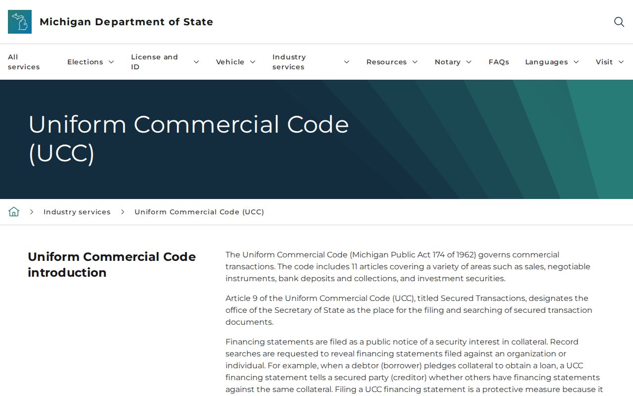
This state resource belongs in a narrowly defined record search, not as a substitute for a parcel, deed, or documented historical household source.
Michigan Voter Records for Van Buren Township
The Michigan Voter Information Center is the official self-service route for registration status, polling location, ballot, absentee, and related voter services. It returned a 403 during research-browser capture, so the current live form labels and result display should be read on the official portal rather than inferred from an automated failure. Township and county clerks handle local registration and precinct questions; Wayne County election PDFs instead document aggregate turnout and contest results.
The official Michigan Voter Information Center is shown here as the state-maintained route for a personal election-service lookup.
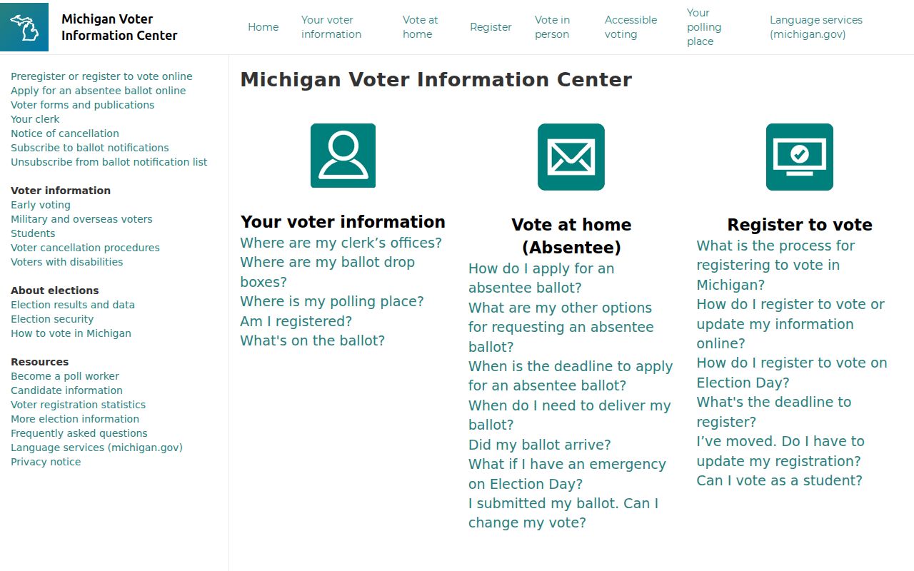
Use the current portal directly and contact the clerk when a status question needs local confirmation or the portal cannot resolve a result.
Michigan Qualified Voter File material can be requested through the Secretary of State's FOIA process, but access is not a license to republish sensitive data. Public fields may include name, residence or mailing address, year of birth, registration date, status, voter ID, and voter history when properly released. Driver or state ID numbers, month and day of birth, phone, email, digitized signature, last four Social Security digits, and application details are exempt. Michigan does not use party registration, and participation history is not a record of ballot choices.
The Secretary of State guidance on voter data distinguishes public record access from exempt identifying fields.
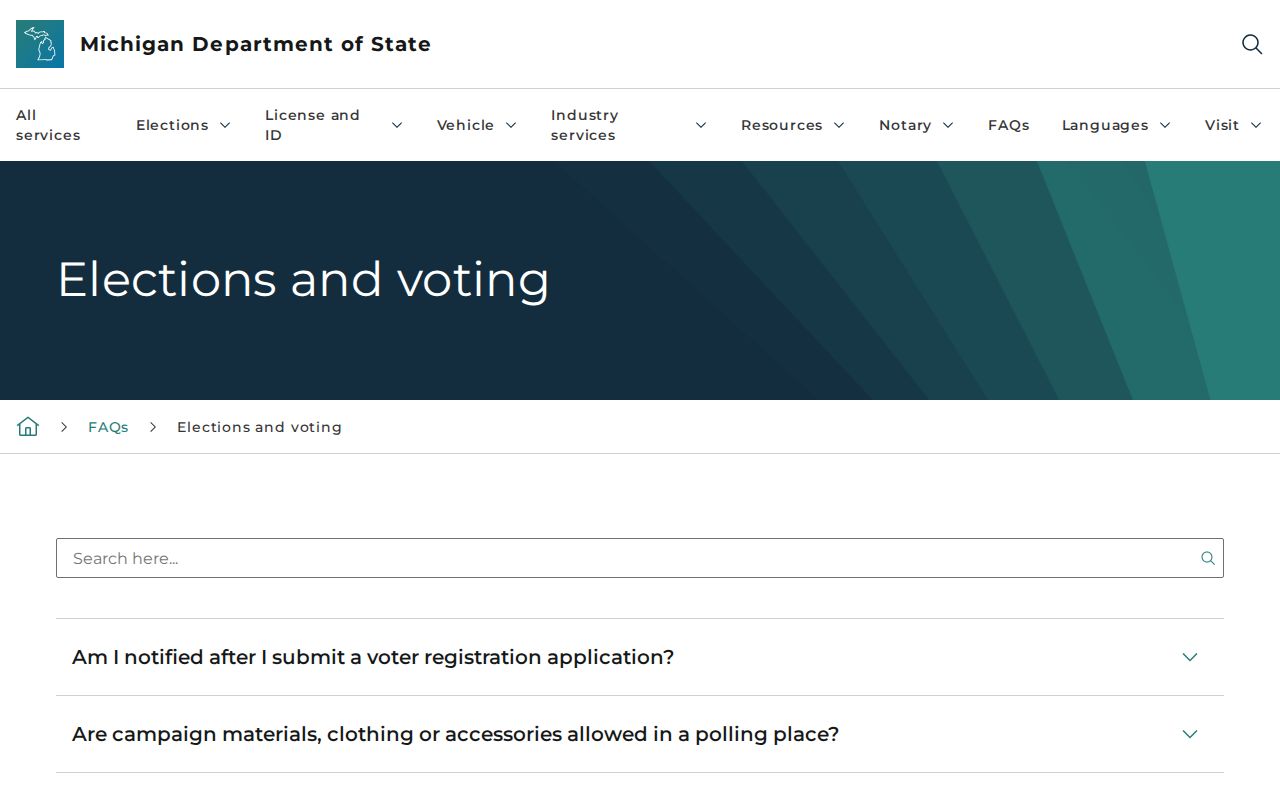
The published guidance reinforces why an official request must be specific and why protected fields should never be copied into a resident listing.
For a defined data request, specify the jurisdiction, field list, date or election range, file layout, and delivery method. The state form describes encrypted media or FTP delivery, not ordinary email. A stale or missing result should be taken to the clerk, because moves, name variation, maintenance cycles, and protected addresses can affect a match.
Van Buren Township Court and Vital Paths
One person's record question must go to the proper custodian. Van Buren Township is served by the 34th District Court, whose online traffic and plea workflows use driver-license or case details and have a manual-search fallback. Michigan's MiCOURT permits name or case searching for participating courts but is not the official court record. Wayne County Third Circuit public access supplies registers of action and civil judgments, while certified copies and paper-file questions go to the clerk. A matching name is not enough to identify a person.
For birth, death, marriage, and divorce records, Michigan MDHHS and the Wayne County Clerk supply record-specific routes. Michigan records reach back to 1867 for births, deaths, and marriages and to 1897 for divorce, but access rules differ by record. Birth records are restricted to eligible requesters; genealogical release periods under MCL 333.2885 are generally 75 years for death, marriage, and divorce and 110 years for birth. MDHHS offers online, phone, mail, drop-box, appointment, and eligible pickup channels. The county clerk offers its own transcript and application route.
The Wayne County Clerk record office is the county-side contact for listed birth and death transcripts, marriages, assumed names, notary appointments, and military discharges.
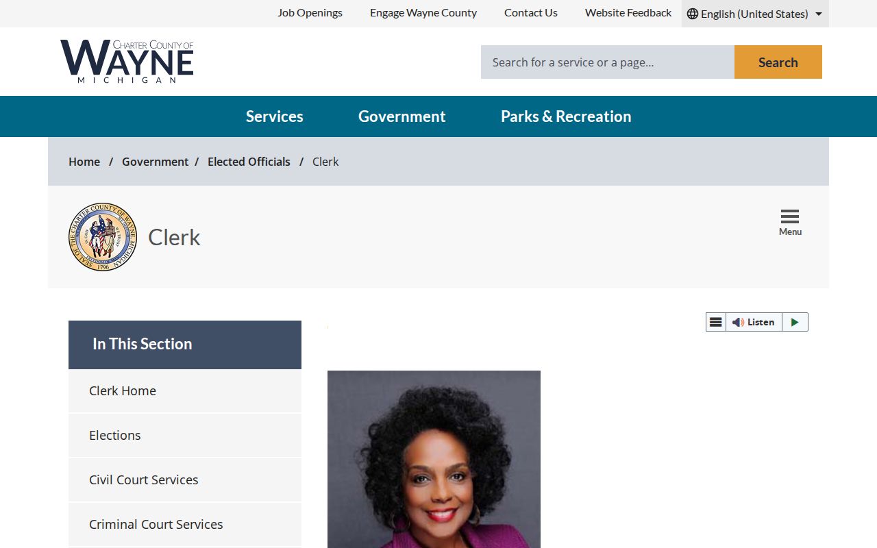
County clerk access is distinct from the township clerk's municipal custody and from Michigan MDHHS's state vital-record ordering system.
These systems are finding aids and application routes, not a general people search. Keep the case or event type, issuing jurisdiction, source date, and eligibility requirement alongside a result.
Van Buren Township Cemetery Records
The township clerk's cemetery route is a local bridge for family-history research. Denton, Otisville, Soop, and Tyler are the four named township cemeteries. The clerk's page supplies burial scheduling, forms, fees, and a plot-map link, but it did not expose a public name-index database in the material reviewed. A cemetery listing or obituary is a dated genealogical lead, not evidence of current occupancy or a complete family record.
For a plot or burial question, contact the clerk or cemetery channel and ask for the relevant map or record procedure. The township requires advance notice for burial scheduling and provides the public route at the cemetery records page. Belleville Area District Library special collections also provide cemetery listings and obituary resources that can help refine a date before an official request.
Van Buren Township Historical Resident Directories
Historical resident research has an unusually strong local shelf. The Belleville Area District Library serves Belleville, Van Buren Township, and Sumpter, with local newspapers on microfilm back to 1895, an obituary index, cemetery listings, Civil War records, local-history books, and yearbooks. Its digitized DigiFind-It collections include Belleville-area city directories from 1921 through 1972, newspapers from 1929 through 2021, and yearbooks from 1932 through 2025. A scan's OCR may be incomplete, so try initials, surnames, street names, organization names, and local variants.
Polk directories commonly combine a household section with streets arranged alphabetically and then by house number. Bresser and criss-cross directories can move from a street to a household sequence. A directory entry establishes what was printed for that year; it does not establish a present address. The full collection coverage, reading method, and historical workflow appear in the Van Buren Township city directories collection.
- Roll
- A list maintained for a specific public purpose, such as assessment or voter registration.
- Index
- A finding aid that points to a record or document, which may have separate image or copy access.
- Criss-cross directory
- A reverse-style directory that helps connect an address or street sequence to a printed household entry.
- Parcel
- A defined property unit identified by a local or county parcel number and legal description.
Van Buren Township Names Before Today
Historic records can use a place name that predates the current township label. The Huron River settlement first used West Huron for its 1834 post office, Van Buren Township was formed in 1835, and the post office moved to Rawsonville in 1838. Belleville later separated from township government in 1905. The county's history also connects Snow's Landing, Huron Township, Romulus Township, Sumpter, Denton, and French Landing to the area.
Search those variants with a year rather than treating them as synonyms. A newspaper, directory, cemetery item, or deed that says Belleville or Rawsonville may be valuable context but still needs a boundary check. The 1875 Old Township Hall, now associated with the Belleville Area Museum, is a physical reminder that the museum's archive covers a tri-community story rather than only one present-day municipal boundary.
Van Buren Township Record Safety
Michigan's Address Confidentiality Program can provide a designated address and mail forwarding for eligible people facing threats or harm. An actual address may be withheld or represented differently, so an absence from a property, voter, or address search is not a basis for drawing a conclusion. Do not try to reverse a designated address or combine public clues to expose a protected location.
Public availability also has limits. Avoid bulk lists, do not infer occupancy from an owner field or mailing address, and do not identify someone from a similar-name court, registry, or business result. The state FOIA framework is Michigan Freedom of Information Act, MCL 15.231 et seq., and exemptions still protect sensitive fields. For a needed existing township record, a written request should be narrow enough for the office to locate it and should name the record type, date range, department, and preferred delivery.
The Township FOIA instructions identify the local request channels and document-center route.
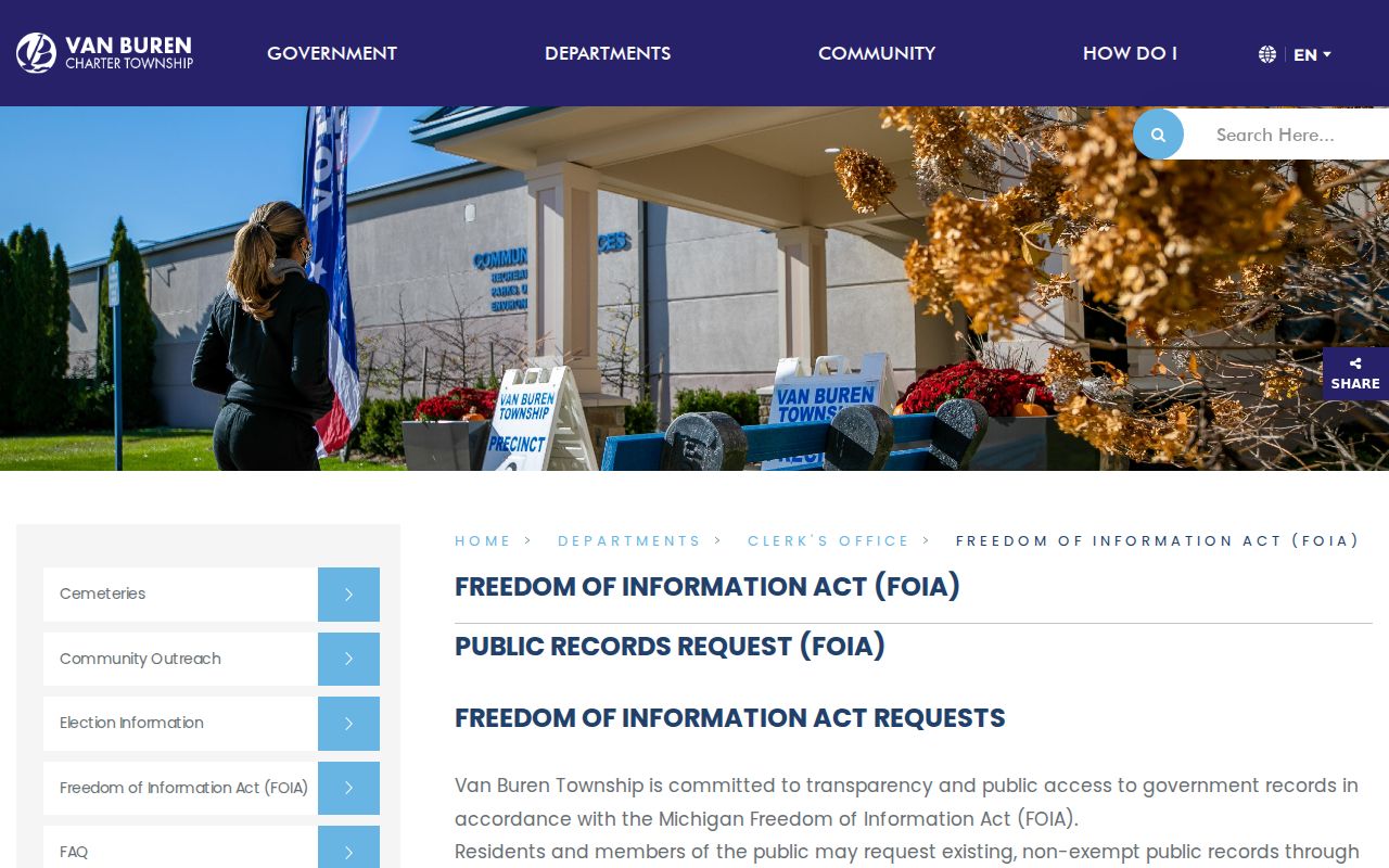
A careful request is limited to an existing record and its stated date range, rather than an open-ended search for information about a person.
The Michigan Attorney General FOIA guide explains the statewide access framework and its response rules.
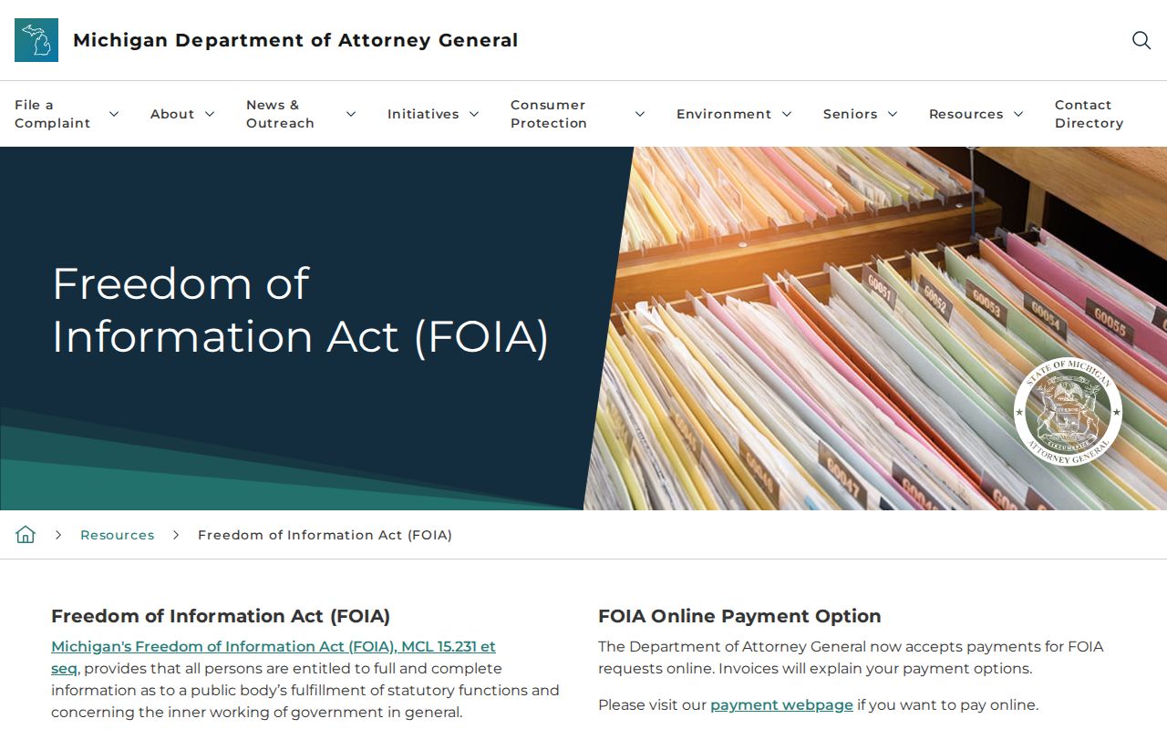
State guidance does not erase record-specific exemptions, confidentiality programs, or the need to use the office that actually holds the material.
Lawful use. Van Buren Township records are for personal, lawful research and civic transparency, never to stalk, harass, intimidate, or harm another person.
Van Buren Township Sources Compared
Official records and commercial people-finder products do not perform the same job. A custodian record identifies its source, date, access rule, and correction path. A commercial summary can lack its underlying source, date, jurisdiction test, or current accuracy. For a township question, the better comparison is not which result looks most complete, but whether the record's field and date actually support the claim.
| Record route | Useful strength | What it cannot establish alone |
|---|---|---|
| Assessor or GIS | Parcel location and jurisdiction context | Current household occupancy or recorded title |
| Register of Deeds | Recorded instrument and legal-description trail | Present residence or a complete personal history |
| Directory or newspaper | Dated historical people-and-place clue | Current status or a certified fact |
| Clerk or agency record | Record-specific official verification route | Access to sealed, restricted, or exempt information |
Wayne County's free Deed Fraud Guard can alert a registrant by email when matching land-record activity is indexed. An alert is only a warning. Compare the instrument and contact the Register of Deeds or the proper authority if a recorded change looks suspicious.