
Van Buren Township Neighbors by Parcel
Public records can place a parcel in relation to the parcels beside it. They do not supply a reliable list of people who live on the block. Use Wayne County wcCompass to locate an address and inspect the map context, then use the township’s BSA property portal for assessment, tax, permit, or parcel leads. A recorded plat or restriction belongs with the Wayne County Register of Deeds. Each source answers a narrower question, and the parcel ID is the durable join between them.
| Source | What it shows about a block | Access route |
|---|---|---|
| wcCompass and Wayne GIS REST | Address, parcel geometry, adjoining parcels, township label, and available owner label | Public map or parcel-layer query |
| Van Buren Township BSA | Assessment, tax, permit, and property-search context for UID 296 | Public portal; assessor handles corrections |
| Register of Deeds | Recorded plats, easements, restrictions, declarations, and land instruments | Free name index, paid detail route, appointment, or mail |
| Township planning materials | Named subdivision and planning context | Township planning page and current office verification |
| Local historical collections | Dated street, newspaper, and directory context | Library collection or onsite assistance |
An owner label, a tax mailing address, and an occupant are different things. Parcels can belong to a trust, business, estate, common area, condominium association, utility, cemetery, or public entity. Treat the map as evidence of parcel relationships, not evidence of a social relationship with your neighbors.
Map Van Buren Township Neighbors by Boundary
wcCompass accepts a street address and a Wayne County city selection. Its related public GIS REST parcel service exposes property street, city, state, ZIP, full address, packed parcel ID, county parcel IDs, jurisdiction name, ownername1, street components, and geometry measures. Start with a target address, verify that the returned jurisdiction reads Van Buren Township, and identify only parcels that share a boundary or frontage. The map is reference information, not title proof.
- Enter the exact street address in wcCompass and record the returned map extent and township label.
- Save the target parcel’s packed parcel ID or county parcel ID before looking at adjoining parcels.
- Identify parcels sharing a boundary or frontage, then record each neighboring parcel ID and its jurisdiction label.
- Open BSA UID 296 for current assessment or permit context, keeping parcel fields separate from any owner label.
- Use the Register of Deeds for a recorded plat, easement, restriction, declaration, or land instrument.
The official township planning page provides the local development context for this neighbor method.
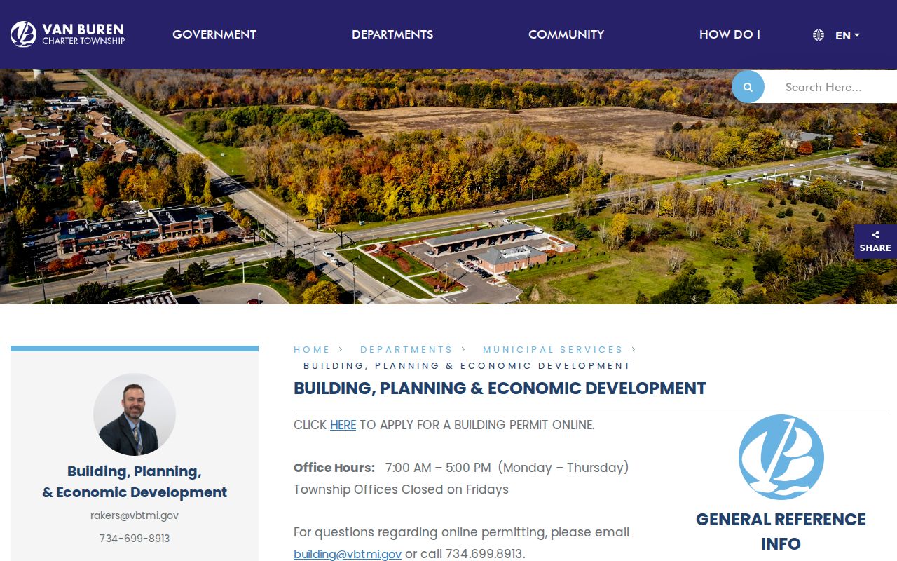
Planning labels can help find the right recorded material, but the map and recorded legal description remain separate sources.
For a full named-street record chain rather than the immediate block, use the Van Buren Township street directory process. It is designed for a street-level trail and should not be replaced by a map-radius list.
Van Buren Township Neighbor Parcel IDs
The parcel ID is the safer connection point between the map, BSA, and recorded-land systems. Wayne’s parcel layer can return packedParc as well as PID_Dborn and PID_All, alongside property street, full address, jurisdiction label, and geometry. A street string is less stable. It can be abbreviated, use a Belleville mailing city, cross a boundary, or appear under a historical locality name. A parcel ID also helps distinguish a block-facing parcel from a nearby parcel that merely shares part of a street name.
Record the source date and the field label used. If the GIS result says “Property Information Not Available” or leaves an owner field blank, that is a data limit, not proof that no owner exists. The township assessor is the current assessment contact, and the Register of Deeds provides the recorded title route. Neither source turns an owner label into an occupancy statement. For an older block, retain the original street spelling and compare a directory street section with the modern parcel geometry.
- Parcel
- A mapped unit of land used for assessment and GIS reference; it is not automatically a separate household.
- Plat
- A recorded map that lays out lots, streets, and related land divisions. Obtain the recorded version through the Register of Deeds.
- Situs address
- The physical parcel location, which may differ from the address used for tax mail or a postal label.
Van Buren Township Neighbor Subdivisions
The township’s building, planning, and economic development page names Meadows of Van Buren, Mission Pointe, and New Page under neighborhoods and subdivisions. These are useful search terms for current planning material, permits, plats, and public notices. They should not be treated as a list of current neighbors, a legal boundary in every use, or a substitute for parcel-by-parcel jurisdiction checks.
| Meadows of Van Buren | Township planning identifies the subdivision name; confirm current plat or planning scope with the office. |
|---|---|
| Mission Pointe | Township planning identifies the subdivision name; use parcel and recorded-plat records for exact bounds. |
| New Page | Township planning identifies the subdivision name; do not infer a mailing-city or association boundary. |
For plats, easements, restrictions, and declarations, use the Wayne County Register of Deeds search and copy route. Free Public Search is name-only and returns an index without images or printing. The paid account route adds address, legal-description, parcel or tax-ID, and Liber/Page searching. If online material is missing, the documented fallbacks are office appointment or mail request. The county’s statements differ on whether online documents reach to 1960 or after 1986, so verify the needed year with the office.
Andover Farms in Van Buren Township
Andover Farms has a neighborhood-association identity page that states purchasers automatically become members. It is a private association source, not a government boundary authority. No complete official townshipwide directory of neighborhood associations was located in the reviewed sources. Use the association’s public identity or contact information only as context, then verify a parcel’s location through township planning or a recorded plat.
The association page is an identified example of community context for Van Buren Township neighbors.
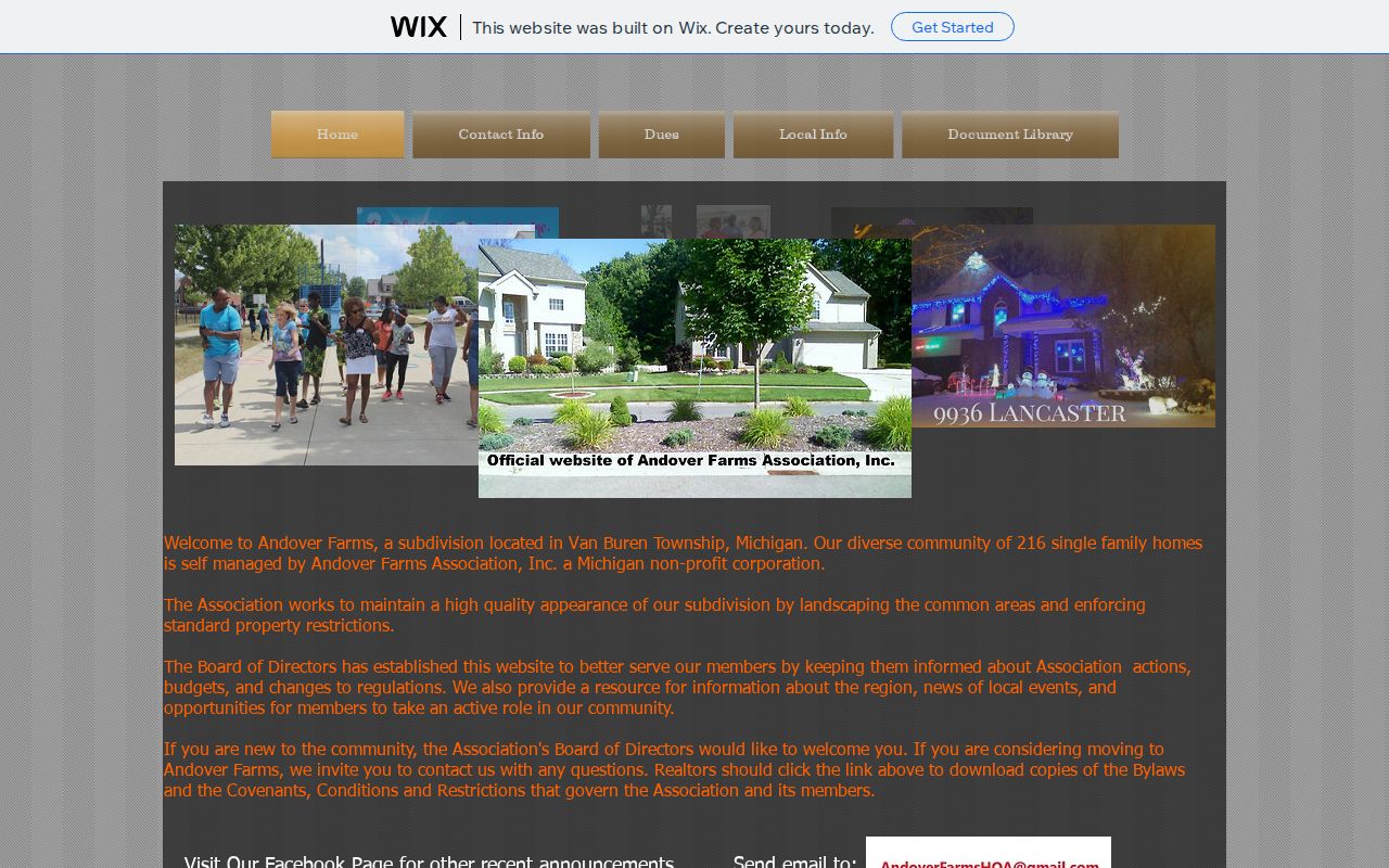
An association label does not prove who occupies a parcel, and no membership roster should be copied into a neighbor search.
Planning examples and association labels can change. Ask the current planning office or the association itself about the applicable source and date before using either label to orient a parcel search.
Belleville Labels for Van Buren Township Neighbors
Belleville is the common postal label for 48111, while the parcel jurisdiction can still be Van Buren Township. The township’s own records, county GIS samples, and postal convention all make that distinction important. A Compass city selection or a USPS city result does not establish the municipal boundary. The parcel layer’s jurisdiction field, BSA’s municipality UID 296, a legal description, or the local assessor is the required follow-up where a road approaches the city or township line.
The Huron River, Belleville Lake, and French Landing are useful orientation names around a block, but they are not legal boundary proof. Historic searches can also surface Rawsonville, Denton, Huron Township, or Belleville. Preserve the name and date as printed, then resolve it against a parcel or recorded document. This geography is the local quirk that makes a careful Van Buren Township neighbor search more reliable than a postal-city search alone.
Note: Retain both the postal label and the parcel jurisdiction because each describes a different part of the address record.
Public Safety Maps Are Not Neighbor Lists
The Michigan State Police Sex Offender Registry has separate public searches by name, number, street address with city, city, county, ZIP, and map radius. It is a statutory registry with its own published fields and limits, not a general neighbor directory or a complete crime history. It excludes victim information and does not provide a full-list download. Use only the stated public-information purpose, keep the source date, and do not turn a map result into a claim about other people on the block.
The Michigan State Police source explains the address and map search limits.
Registry availability can change, and the official profile remains the source for any lawfully visible result rather than a copied map image.
Compare Van Buren Township Neighbor Sources
Official parcel and recorded-land sources document who maintains a record and what it means. Commercial neighbor-search categories may combine old data from unknown sources, omit a source date, and blur ownership with occupancy. They are not a substitute for a custodian record or a correction path. Use a dated official source for parcel context, then narrow the question instead of assembling a broad list.
| Source category | Best use | Core limit |
|---|---|---|
| Official map, assessor, or recorded land record | Parcel location, jurisdiction, land context, and recorded-document route | May not prove occupancy; map data is reference information |
| Township planning or association identity page | Subdivision or community context | Not a parcel-boundary authority or a resident roster |
| Commercial neighbor-search category | A lead that requires independent official verification | Source date, accuracy, and lawful-use limits can be unclear |
Historical directories and newspapers have a different role: they can document a name and address at a stated time. The Belleville Area District Library’s collection and digitized directories are appropriate historical fallbacks, but neither a historical entry nor a parcel owner should be presented as a current neighbor without a separate, dated official basis.
Privacy Limits for Van Buren Township Neighbors
Michigan public-record access does not permit a bulk dossier of people around an address. The Michigan Address Confidentiality Program uses a designated address and mail-forwarding system for eligible participants, and an actual address may be withheld. A missing ordinary-address result is not evidence that a person is absent. Do not expose birth dates, driver-license details, voter IDs, phone numbers, email, signatures, victim information, protected addresses, or other exempt fields.
Michigan voter data is governed by Qualified Voter File rules. The official self-service route is MVIC, local registration questions belong with the township clerk, and a defined state FOIA request has its own field and delivery limits. Aggregate precinct results do not identify individuals. For a public record held by the township, use a narrow request through the Van Buren Township FOIA channel rather than asking for a blanket neighbor list.
Lawful use. Use Van Buren Township neighbor records for personal, lawful research and never to stalk, harass, intimidate, or expose a protected person.