
Map Van Buren Township ZIP Codes
The confirmed working ZIP for Van Buren Township is 48111, with Belleville as the recognized postal city. Township offices, the assessor, police, cemetery, museum, and county GIS samples use that pairing. The evidence does not establish that every address at the township edge uses 48111, and the inspected official sources did not confirm another regular township ZIP. Postal service areas and local government boundaries are separate systems, so the complete address still needs USPS validation and a parcel-jurisdiction check.
| ZIP | Areas covered | Postal anchor | Record note |
|---|---|---|---|
| 48111 | Confirmed township addresses, subject to exact-address validation | Belleville, Michigan | Postal city does not establish City of Belleville jurisdiction |
| Additional ZIP | Not confirmed in inspected official sources | Not published as township coverage | Test boundary roads by USPS city/state and exact address |
The official USPS ZIP Code Lookup is the postal source for testing an individual address.
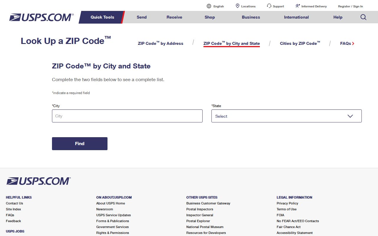
USPS validates delivery information, while the next record check establishes whether the address belongs to the township.
Note: Call 48111 confirmed only when an official USPS or township address supports it, and label every other ZIP as address-dependent or not confirmed.
Separate Van Buren Township ZIP Labels
Belleville is the postal city used for the township's working ZIP. That familiar label is the local quirk behind many mismatches: an assessor or GIS record can show Belleville, MI 48111 while the jurisdiction field says Van Buren Township. The City of Belleville and Van Buren Township have distinct governments, and a mailing city alone cannot decide which office owns a parcel or record. A map pin and a city dropdown are also insufficient near a boundary.
Wayne GIS sample features make the contrast concrete. The county layer returned both 13604 Stamford Road and 10850 Beck Road as Belleville 48111, but marked their jurisdiction as Van Buren Township. Those examples show how postal text and government jurisdiction can coexist without being interchangeable. They are GIS examples, not title determinations and not evidence for any other address.
Run Van Buren Township ZIP Checks
USPS offers three distinct checks. Its by-address form requires street, city, and state; company, apartment or suite, and ZIP are optional. City-and-state search returns ZIPs associated with that city, while ZIP-to-city search returns cities served by that ZIP. Begin with the full address in Belleville, Michigan, add a unit if there is one, and retain the resulting normalized form. If several matches appear, narrow the entry rather than assuming the first result is the right parcel.
- Enter the exact street number, directional, street name, suffix, and any apartment or suite in the USPS by-address form.
- Record the standardized postal result, including its date, without turning the result into a statement about a person or municipal jurisdiction.
- Use the same address in wcCompass and inspect the parcel's jurisdiction label and identifier.
- Open BSA Online under municipality UID 296 for a township assessment, tax, or permit lead.
- For a recorded land question, continue through the Wayne County Register of Deeds rather than relying on the ZIP result.
The USPS warning is direct: a ZIP result does not confirm a person or company at an address. That limit is why the ZIP code directory should produce a postal trail, not a roster.
Search Van Buren Township ZIP Fields
A ZIP is not a documented universal search key across the local portals. USPS accepts postal address information. Wayne's parcel REST service can return and filter the property ZIP field, although the wcCompass browser interface is mainly address and city based. BSA uses Address, Name, and Parcel Number categories rather than a documented ZIP-only control. The county delinquent-tax search uses street, municipality, and parcel ID. This narrow field map prevents a ZIP search from promising a townshipwide list of people.
| System | Input or ZIP field | What it supports |
|---|---|---|
| USPS | Street, city, state required; optional ZIP, company, apartment | Postal validation and standardized address |
| Wayne GIS REST | Returned propzip, full address, city and state | Parcel reference and ZIP-aware query work |
| wcCompass | Street-address field and Wayne County city dropdown | Address-to-parcel map lookup |
| BSA UID 296 | Address, Name, or Parcel Number category | Township assessment, tax, or permit lead |
| Wayne delinquent tax | Street number, street name, municipality, or parcel ID | Tax-purpose parcel search, not a ZIP-only tool |
The BSA account registration and property-search access page shows the account route associated with township UID 296.
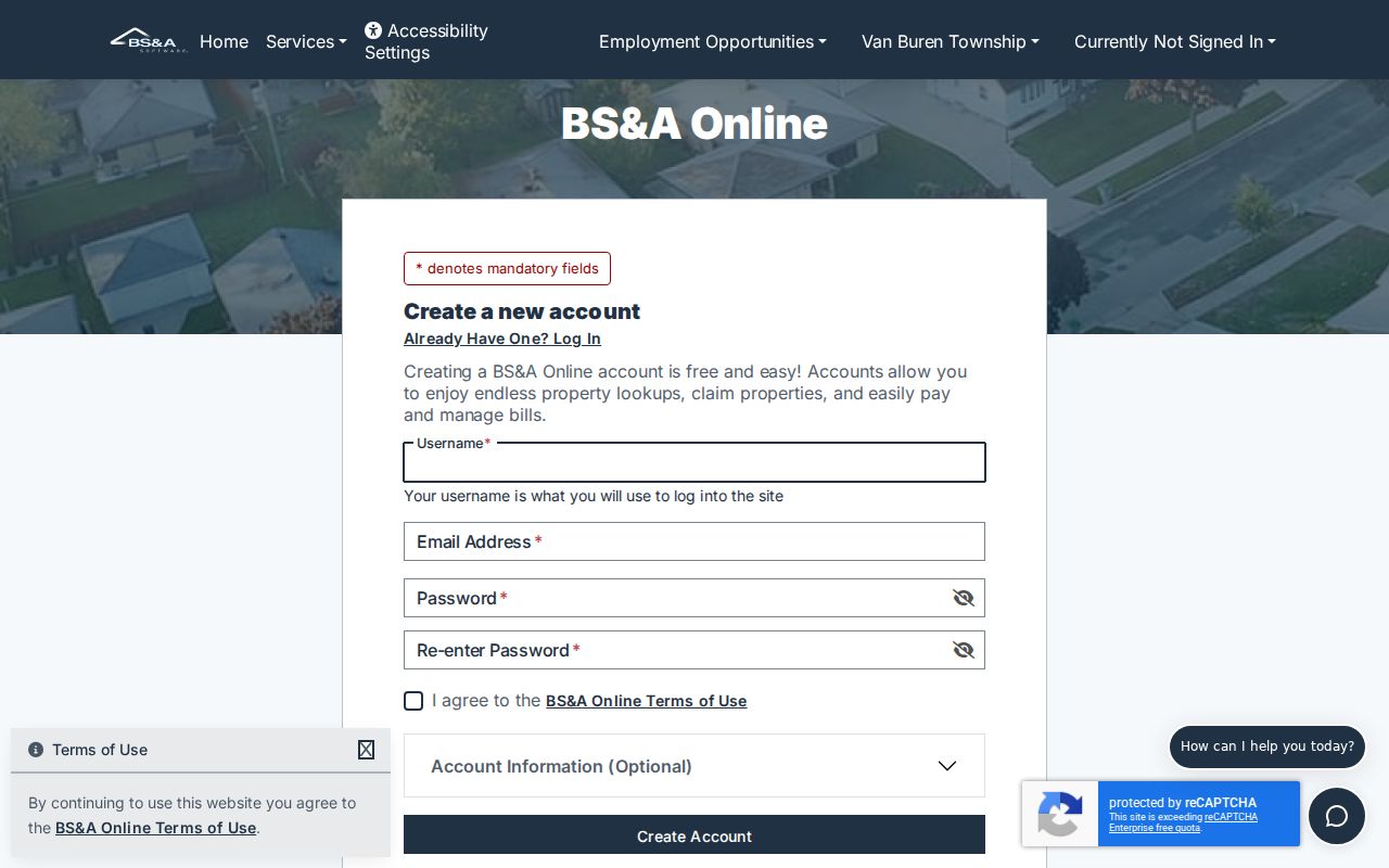
The access screen shows account options, but it does not document a ZIP-only property search or establish identity verification.
Michigan voter information has a different access path. The official Voter Information Center is for its portal-controlled status and polling functions, while a defined QVF FOIA request can seek permitted public fields through encrypted media or FTP. The research did not capture a ZIP-only voter control, and sensitive QVF fields remain exempt. Use the township clerk, Wayne County Elections, or the state request route for the specific election question rather than converting a postal locator into voter data.
Check Van Buren Township ZIP Parcels
After USPS returns a postal form, wcCompass and the public parcel layer supply the geographic check. Search the address, read the city text and ZIP, then confirm the township jurisdiction label and parcel ID. The REST layer can expose owner label, property street, full address, packed parcel number, county parcel IDs, street components, and geometry. Those fields make it useful for a parcel join, but county GIS calls it reference information rather than recorded title proof.
The Wayne County annual assessment-data page publishes the 2026 municipality files, including a Van Buren Township ZIP file.
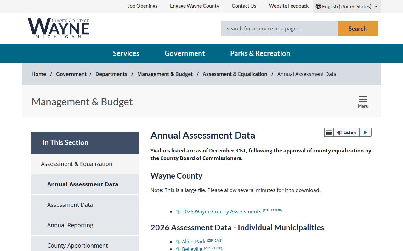
The annual ZIP file is dated data for equalization context, while the local assessor is the current authority for parcel maps and assessment rolls.
For a street-level trail after a ZIP has narrowed the search, use the Van Buren Township street directory to compare the address, parcel ID, recorded instrument route, and historical address sources.
Note: A property ZIP is a locator field. Preserve the parcel ID and jurisdiction label before comparing an annual download with a live assessor record.
Locate Van Buren Township ZIP Service
The Belleville Post Office is the postal anchor named in the research for 48111. Its address is 45601 S Interstate 94 Service Drive, Belleville, MI 48111-9998, and its telephone number is 734-697-0047. That office location helps explain the public label for the ZIP, but a post office can serve addresses across municipal lines. It does not turn the postal service area into a township boundary, subdivision, or proof of an address's government jurisdiction.
Postal labels should also remain separate from historical locality names. Rawsonville, French Landing, and Belleville can appear in local history, newspapers, maps, or directory material. The postal form must be paired with a date and an official address source before it is used to connect an older locality to a modern parcel.
Protect Van Buren Township ZIP Searches
A ZIP is not permission to assemble a street or person list. Michigan's Address Confidentiality Program gives eligible participants a designated address and mail forwarding. An absent match or a designated address does not prove where a person is or is not located. The program involves eligibility rules and a victim advocate or application assistant. Government entities must use the designated address, while private entities are not required to do so. Never use postal and parcel results to try to uncover a protected physical address.
The Michigan Address Confidentiality Program information page explains the program's designated-address and enrollment protections.
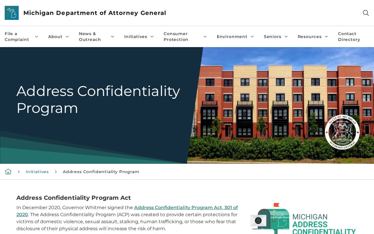
The program information is a privacy limit on address research, not a directory source.
The official ACP application portal displays the protected application route.
The application requires sensitive identity and address information that should not be copied into a public search or example.
Read Van Buren Township ZIP History
Postal and historical names overlap without meaning the same thing. Van Buren Township formed in 1835, and Belleville separated its governance in 1905. Earlier records may therefore use Huron Township, West Huron, Rawsonville, Belleville, or Van Buren Township. The township's strategic plan identifies the Belleville ZIP label as a community-identity issue, which makes it a useful search variant but not a legal location marker. For a historical address, retain the printed form alongside a modern USPS form.
The local setting adds another layer. The Huron River, Belleville Lake, and French Landing appear in county history and local material, while subdivision names such as Meadows of Van Buren, Mission Pointe, and New Page appear in township planning context. Those labels can guide a map or archive search, yet a parcel's legal description and jurisdiction label remain the proper test for a municipality.
Correct Van Buren Township ZIP Differences
When a postal result, map, and assessment record do not agree, keep all three rather than choosing one by guesswork. Re-run USPS with the full address and unit. Compare the wcCompass result and parcel ID. Then use BSA UID 296 or the assessing office for the current township assessment question. If the conflict concerns ownership history or a legal boundary description, request the recorded document through the Register of Deeds. An exact source date and field label make the correction path much clearer.
For an existing township document that is absent from a portal, a written township FOIA request can describe the record type, department, and date range. Michigan FOIA applies to existing non-exempt public-body records and may involve a response period, fee rules, or redactions. It does not require an agency to create a resident list from postal data. This route preserves the difference between a postal locator and the custodian's actual records.