
Trace a Van Buren Township Street
Use a short chain of records rather than a broad name search. First, confirm the postal form of the address. Next, locate the parcel and read its jurisdiction label. The assessment record can then supply a current property lead, while the Register of Deeds can connect a parcel to recorded transfers. Historical directories or newspapers can add a dated household clue, but they do not replace the land record. This order matters in Van Buren Township because a parcel may use Belleville as its mailing city even though its jurisdiction is the township.
- Enter the complete address in USPS, including direction, street suffix, and unit where applicable. Save the returned postal form and the search date.
- Search Wayne County wcCompass and confirm that the parcel result identifies Van Buren Township. Record the parcel identifier and physical address exactly as displayed.
- Open the same parcel through BSA Online, municipality UID 296, for assessment, tax, or permit context. Treat BSA information as reference data and ask the assessor to correct a conflict.
- For a title question, use the Wayne County Register of Deeds index. Follow the grantor and grantee sequence with the legal description, not a name alone.
- For a dated household clue, compare the library's street sections and local newspapers with the address and year. Keep that clue separate from owner evidence.
Each step answers a narrower question. A ZIP validates delivery, a map supplies parcel context, and a deed documents a land transaction. None independently proves current occupancy.
Note: Preserve the query date, source URL, jurisdiction label, and parcel identifier so a future check can reproduce the same address trail.
Validate Van Buren Township Street Addresses
Postal wording is the first local complication. Township offices commonly use Van Buren Township, Michigan 48111, while USPS and many parcel records use Belleville, MI 48111-9998. The Belleville label is a mailing convention, not proof that an address is in the City of Belleville. USPS requires street, city, and state for its by-address search; company, apartment or suite, and ZIP are optional. Its city-and-state and ZIP-to-city options answer different routing questions.
The Wayne County wcCompass address and parcel viewer supplies the next map-based check for the street.
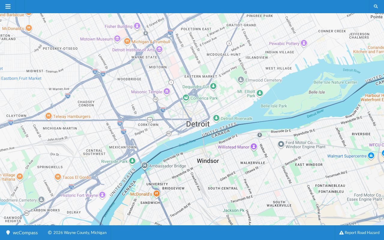
Postal validation should be followed by the parcel result, because USPS explicitly says a ZIP result does not confirm that a person or company is at an address.
When more than one match appears, add the unit number and check the returned address carefully. A road near a jurisdiction boundary needs the parcel label or legal description before it can be treated as a township street.
Search Van Buren Township Parcels
The Van Buren Township Assessing Office directs property searches to BSA Online under municipality UID 296. The public BSA landing page offers Address, Name, and Parcel Number categories with a query box. Use the address or parcel option for a street question, then keep the displayed field label with every result. The portal advertises separate assessment, tax, permit, building-record, special-assessment, utility, and payment services, so a result in one service should not be assumed to contain data from another.
| BSA search element | How it is used | What to keep |
|---|---|---|
| Search category | Select Address, Name, or Parcel Number | The category used for the query |
| Search text | Enter the address or parcel value appropriate to the category | The exact query spelling |
| Municipality | Use the Van Buren Township page, UID 296 | The township jurisdiction, not just the postal city |
| Detail service | Open the relevant assessment, tax, or permit area | The record date and the source's own field labels |
The assessor's official page is the correction route when BSA and the county map disagree.
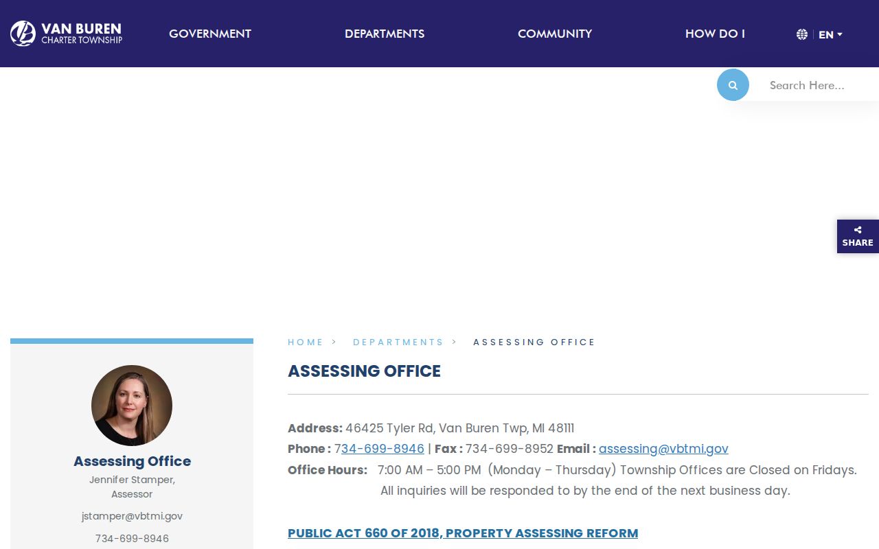
The page confirms the municipal route to property search, while BSA's live detail controls remain portal-controlled and were not fully captured in the research.
A property transfer affidavit is an ownership-transfer filing, not an owner lookup. Likewise, an assessment value, exemption, or separate mailing address does not identify who is currently present at a physical parcel.
Map a Van Buren Township Street
Wayne County wcCompass is the public map route for an address search. Its visible controls include an address field and a Wayne County city dropdown. The related GIS parcel service exposes more structured reference fields, including owner label, property street, city, state, ZIP, packed parcel ID, full address, street components, jurisdiction name, and geometry. Search the map with the mailing form, then use the jurisdiction label to distinguish a township parcel from a Belleville city result.
The official Wayne GIS REST parcel layer documents the fields available to map users.
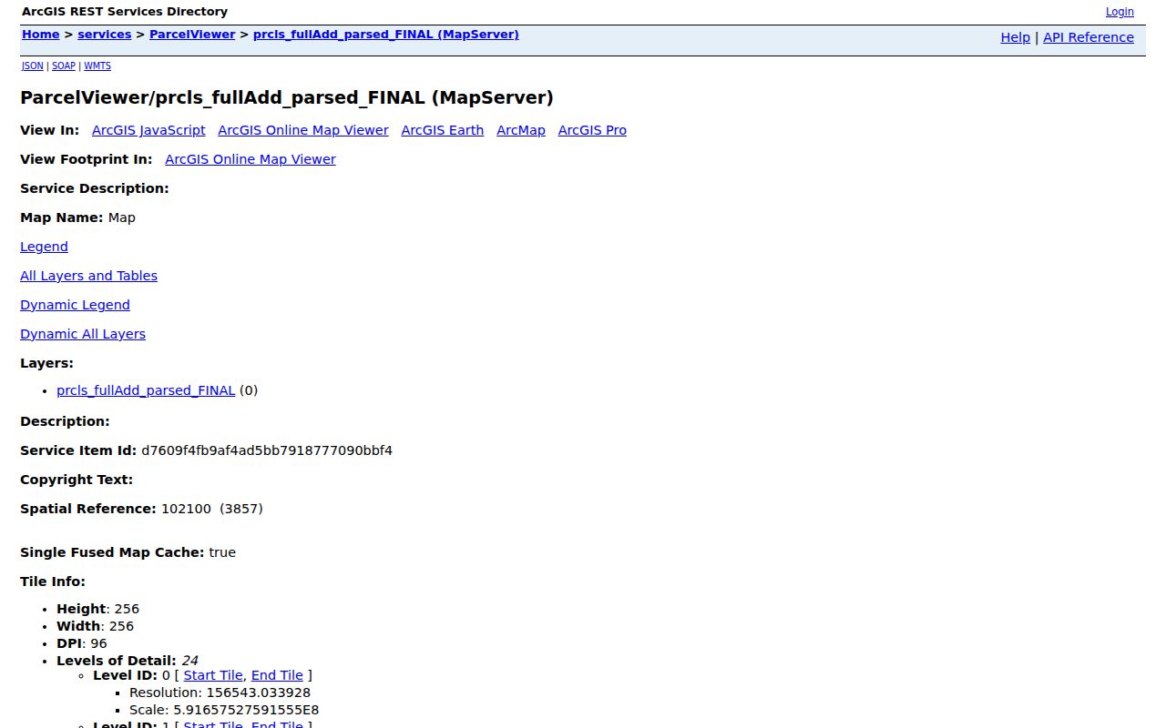
The GIS layer is useful for joining an address to a parcel, but it is reference data and not proof of title.
A map card can be blank or show “Property Information Not Available.” That condition means the card lacks a populated value, not that the parcel has no owner or no history. Ask the local assessor to resolve a current-roll question and use recorded documents for title.
Note: Keep physical address and mailing address separate whenever the source labels both fields, since they answer different questions about a parcel.
Compare Van Buren Township Address Records
Address-keyed sources overlap, yet their meanings differ. The assessor and GIS pair are the practical starting point for a parcel. The recorder holds the land-instrument chain. Township planning material can establish permit or subdivision context, and official election channels answer narrowly defined voter questions. A historical directory is a dated name-and-address source, not a present-tense roster. The table separates those uses and the available fallback routes.
| Address record | Custodian | What it can establish | Access route |
|---|---|---|---|
| Assessment and tax lead | Township assessor | Parcel and current assessment context | BSA UID 296, assessor contact, or existing-record request |
| Parcel map | Wayne GIS | Jurisdiction label, parcel IDs, address components, geometry | wcCompass or public REST layer |
| Recorded land instrument | Wayne County Register of Deeds | Grantor, grantee, legal description, document references | Free index, paid account, appointment, or mail search |
| Planning or permit lead | Township building and planning | Project, parcel, or subdivision context | Live BSA route, planning notices, or township records request |
| Voter information | Michigan and local election offices | Status or properly released public QVF data | MVIC, township clerk, Wayne Elections, or QVF FOIA request |
| Historic address clue | Belleville area repositories | A name at an address in a stated year | Digitized collection, microfilm, or library assistance |
Michigan's voter route is not a street-browsing tool. MVIC is for official self-service voter information, while a defined QVF request has its own field, delivery, and privacy limits. Sensitive fields remain exempt, and a stale or missing result should be taken to the clerk rather than turned into a claim about a person.
Follow a Van Buren Township Deed Chain
The Wayne County Register of Deeds supplies the authoritative land-record route. Its free Public Search is a name-only grantor or grantee index and does not provide images or printing. The On-Demand account path adds address, legal-description, parcel or tax-ID, and Liber/Page searching, document viewing, and paid printing. When an address search finds a current instrument, note the recording date, document number, grantor, grantee, and legal description before searching the earlier party.
The Register of Deeds search and copy instructions outline the free, account, mail, and appointment routes.
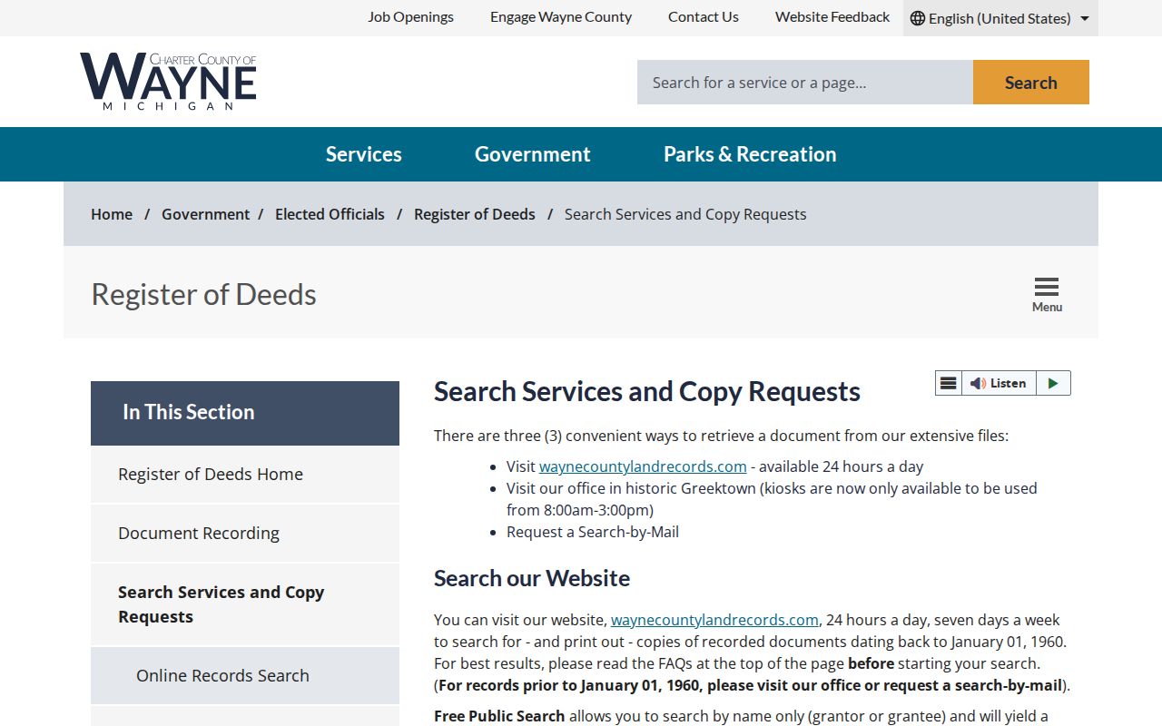
The screenshot reflects access choices, not a particular instrument, and a document image may require the paid or office route.
The county says in-person sessions are appointment-only from October 2025. It publishes a $5 per-property in-person search charge unless its personal-residence waiver applies, and a $15 per-address mail search, with separate copy and certification charges. Confirm all fees and appointment rules before relying on them. Mail and office service are the fallback for an older, missing, or unavailable online document.
Read Van Buren Township Street Records by Time
Wayne County's recorder history reaches back to 1703, but online depth is less certain. The search-services page says documents date to January 1, 1960, while the main office page describes online documents after 1986. Preserve that difference in a research note and ask the recorder which index or image route applies to the requested instrument. A free name index may locate a reference, while an account, mail request, or appointment may be needed for an address, legal-description, or image question.
For household history, the Belleville digitized collection has city directories from 1921 through 1972. The Michigan city-directory guide notes that street sections are arranged alphabetically by street with addresses in house-number order, and criss-cross directories bridge surname and street searching. The archival details belong in the Van Buren Township city directory collections when the task shifts from a modern parcel to directory volumes and local newspapers.
- Parcel
- A defined tract used by the assessor and map systems, usually tied to one or more identifiers.
- Situs address
- The physical location of a parcel, which can differ from the address used for tax correspondence.
- Plat
- A recorded map that identifies lots, blocks, roads, or subdivision layout.
- Criss-cross directory
- A directory arranged to connect addresses and streets with listed names for a particular publication year.
Note: Search Belleville, Van Buren Township, Rawsonville, Huron Township, and West Huron variants when an older street result appears incomplete.
Use Van Buren Township Parcel Context
Street research gains accuracy when the parcel is placed beside its physical context. In wcCompass, identify the target parcel, save the parcel ID and jurisdiction, then compare adjoining geometry only as map context. Shared frontage or a common boundary does not show a social relationship, a household, or a current resident. For recorded plats, easements, restrictions, and declarations, return to the Register of Deeds instead of treating the map as the final authority.
The Wayne County maps and data page provides the county's map and GIS context.
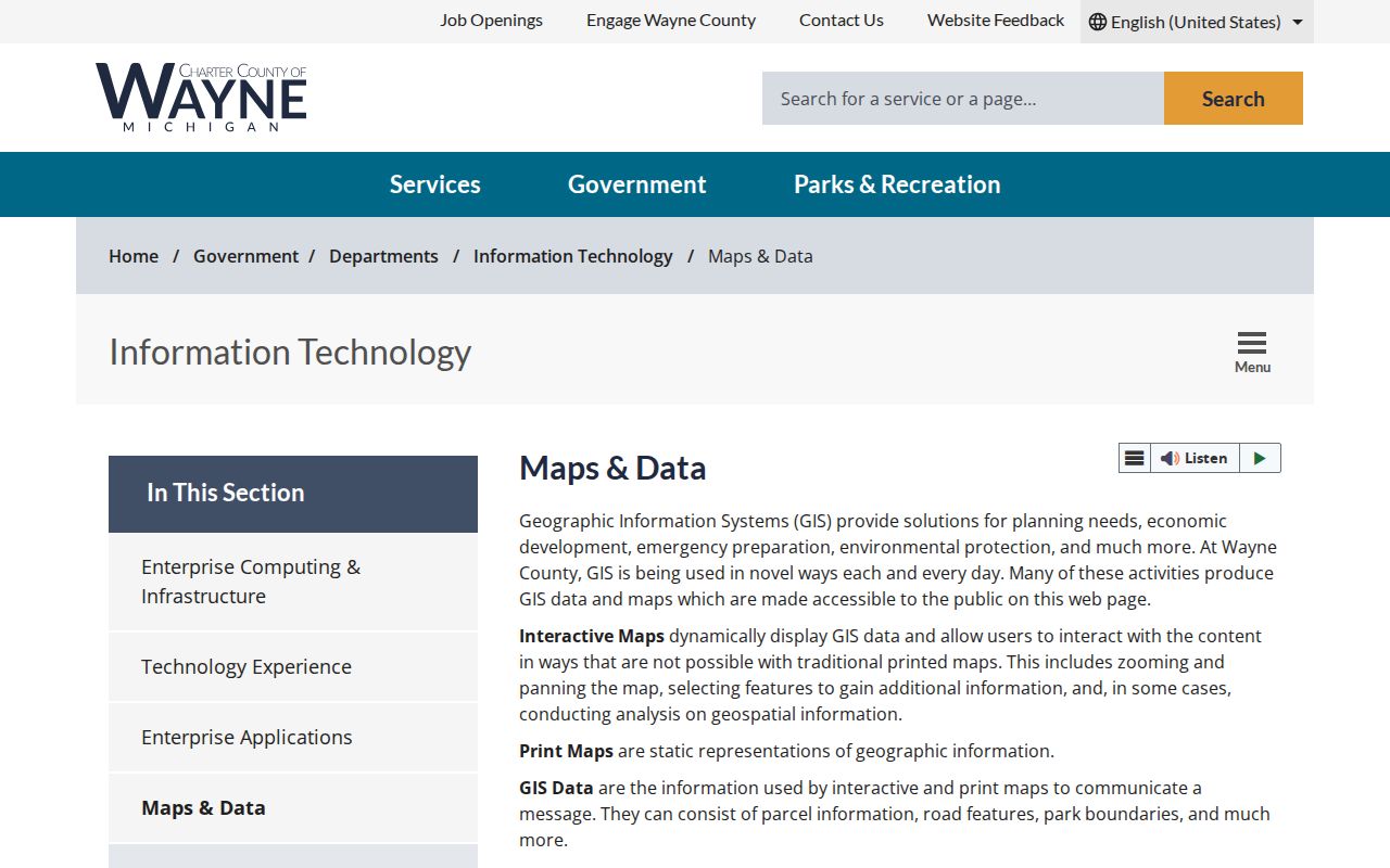
County mapping helps orient a street search, while the township assessor remains the current authority for local assessment maps and rolls.
Subdivision labels provide useful search terms. The township planning material identifies Meadows of Van Buren, Mission Pointe, and New Page, but a subdivision name is not a municipal boundary. Historic place names such as French Landing and Rawsonville can also appear in local material, so retain the spelling and date shown by the source.
Check Van Buren Township Street Tax Leads
Wayne County's delinquent-property-tax portal is a separate address tool. It accepts street number, street name, municipality, or parcel ID, and the municipality list includes Van Buren Twp. The page advises using at least three street-name letters and omitting the suffix for a wider search. For parcels outside Detroit, its parcel-ID format is 14 to 16 characters without spaces or dashes. The search is free, but the inspected source does not state a data refresh date.
The Wayne County delinquent-property-tax search shows its address, municipality, and parcel-ID entry routes.
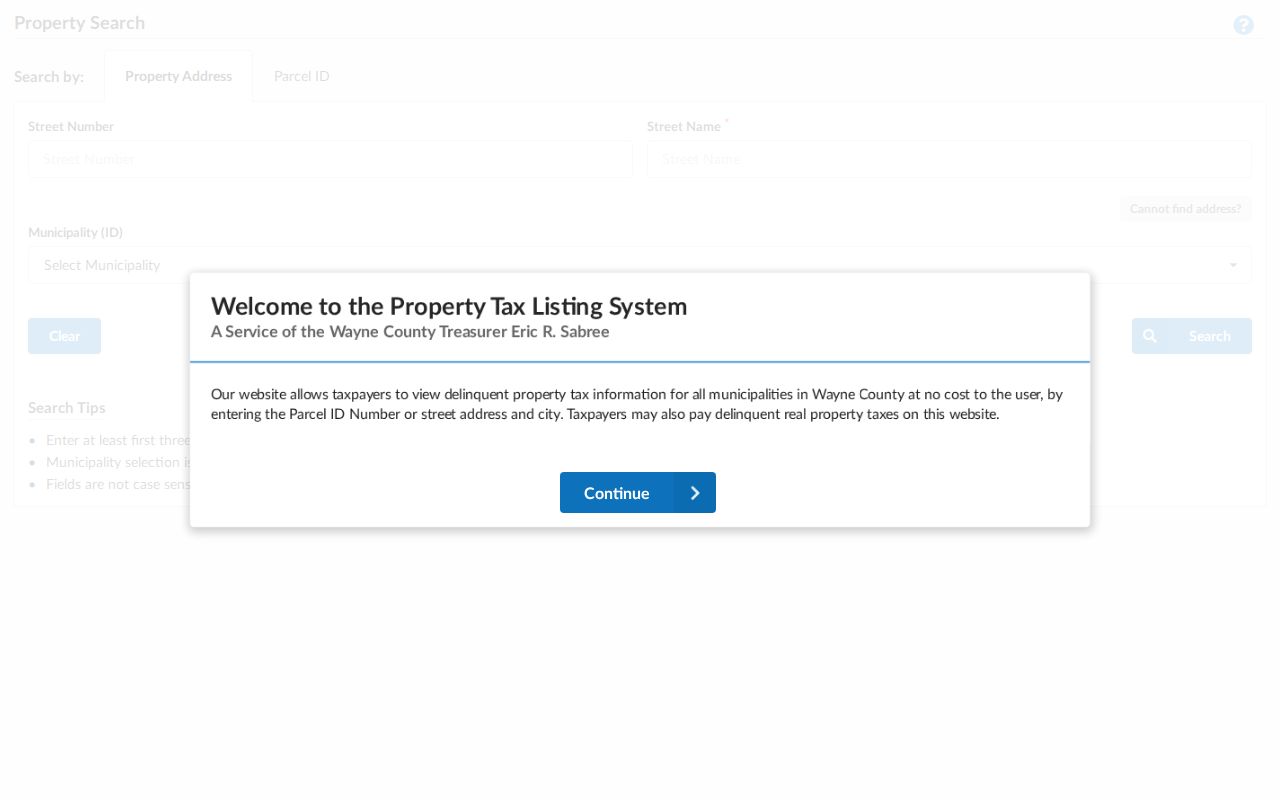
A delinquent-tax record is limited to its tax purpose and should be dated, not used as an ownership or occupancy conclusion.
Pair a tax result with the parcel identifier and current GIS jurisdiction label. If the address is disputed, ask the assessor for the current assessment record and then compare the legal description to the recorded instrument.
Note: A tax search can be a useful parcel lead, but the portal does not state the freshness of every delinquency record it displays.
Match Van Buren Township Street Names
The township's place names explain many apparent street mismatches. Van Buren Township formed in 1835 from Huron Township territory, and Belleville separated its government from the township in 1905. Earlier material may use Huron Township, West Huron, Rawsonville, Belleville, or a road's historical locality. The Huron River, Belleville Lake, and French Landing are useful orientation terms, but they are not legal boundary evidence. A modern GIS result and an older directory entry should be joined through date, parcel description, intersection, or locality context.
That naming history is a practical comparison point: postal city, historical locality, subdivision, and township jurisdiction can all describe the same broad area, yet they come from different systems. Label each one by its source instead of collapsing them into one address claim. Where a road or number seems to change, the research found no official townshipwide renumbering or annexation schedule. Request the recorded or administrative source before asserting one.
Limit a Van Buren Township Street Directory
A parcel owner, a mailing address, a USPS result, or a historical directory line cannot establish present occupancy. Records can be incomplete, delayed, protected, or limited to a different purpose. Michigan's Address Confidentiality Program can provide an eligible participant with a designated address and mail forwarding. An ordinary street search that does not find a person is not evidence that the person is absent, and a match should never be used to work backward toward a protected physical address.
For an existing township record that is not posted online, use the township's written FOIA process and identify the department, record type, and date range. Michigan FOIA concerns existing non-exempt records, not a requirement that the township create a street-by-street compilation. The records custodian can also explain redactions, fees, or an alternate delivery route.